For the best experienceDownload the Mobile App


Intense heat continues this week across Middle TN
Published on: 07/22/2025

Description
NASHVILLE, Tenn. (WKRN) — Hotter temperatures and feels like temperatures are increasing in the next few days. This heat is dangerous and it will be important to reduce time outdoors in the hottest parts of the day.
Heat alerts
A Heat Advisory will be in effect on Tuesday and Wednesday from 11 a.m. to 8 p.m.. Heat Index values ("feels like temps") up to 109 degrees. There is also an Extreme Heat Warning in effect from 11 a.m. until 8 p.m. Tuesday for areas west of the Tennessee River, including Benton, Carroll, Decatur, and Henry counties, where the heat index could reach 112 degrees!

Tuesday's feels like temperatures will climb to 100-110° from central Middle Tennessee to west Middle Tennessee. There will be some storms on Tuesday that will help lower this temperature at times.


By Wednesday-Friday, as an upper-level heat wave high sets up over the Mid-South, we will likely see temperatures in the upper 90s, and heat index values 110 degrees and higher, prompting Extreme Heat Warnings across much of the area. This will be dangerous heat.


Storm chances
Storms are possible on Tuesday. Storms may produce lightning and some heavy rainfall. Severe storms are not expected. By Wednesday, little to no rain expected.


As the heat high breaks down this weekend into next week, rain chances will increase. We currently have about a 40% chance of rain Saturday through Monday. Despite these chances, the heat is not going anywhere with temperatures staying in the middle to lower 90s, and feeling like 100-105 each day.

Source: WKRN 
Source: WKRN https://www.wkrn.com/weather-headlines/tn-forecast-intense-heat-continues-this-week-across-middle-tn/
Other Related News

07/22/2025
MT JULIET Tenn WKRN Planning commissioners in one area of Wilson County have been left in...
07/22/2025
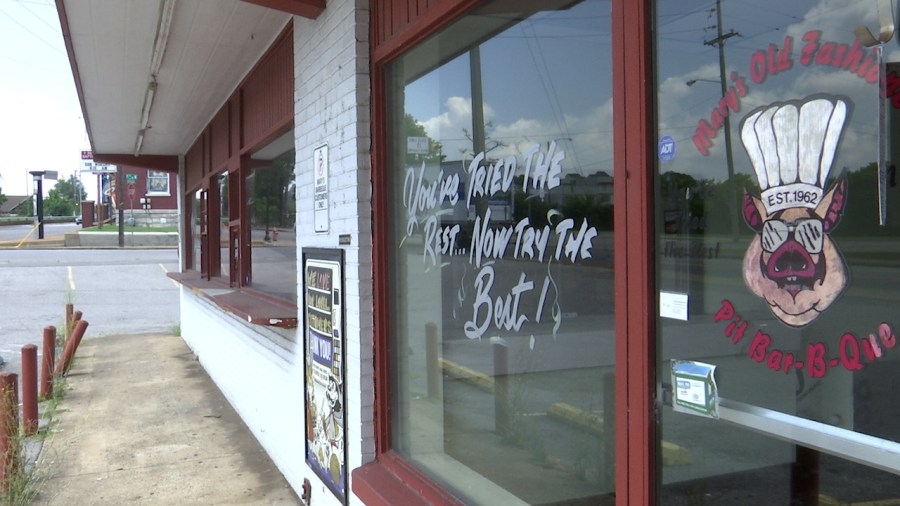
NASHVILLE Tenn WKRN Jefferson Street in North Nashville is rich with history In addition ...
07/22/2025
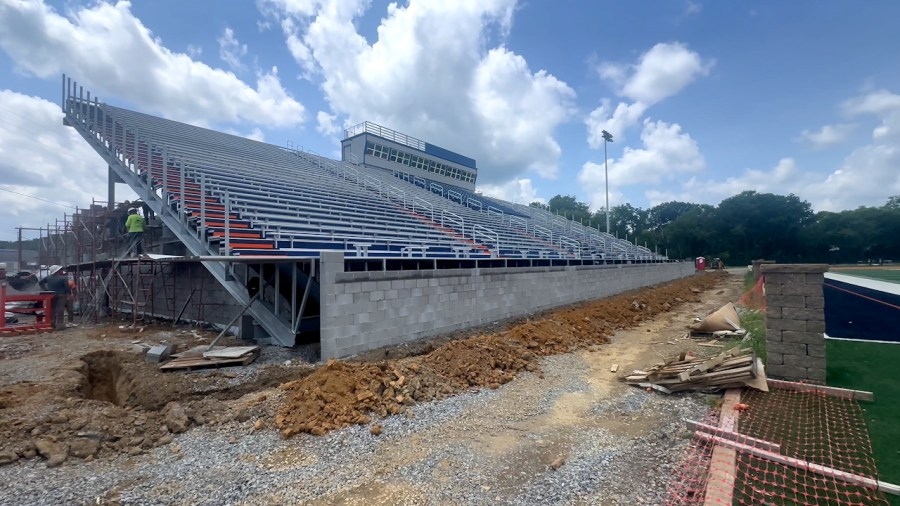
SUMNER COUNTY Tenn WKRN Nearly two years since their bleachers collapsed Beech High Schoo...

07/22/2025
BRENTWOOD Tenn WKRN Two Chinese nationals are in custody after they allegedly scammed a W...
07/22/2025
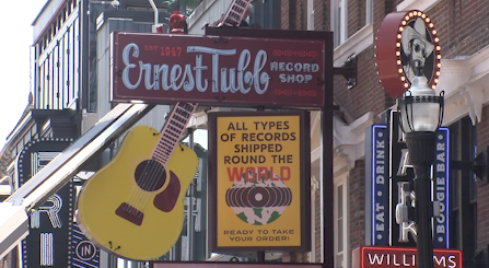
NASHVILLE Tenn WKRN A historic fixture on Lower Broadway is making its return to Music Cit...
Follow

Download Our App


Copyright 2024 © Southern Proximity LLC. All Rights Reserved.